![]() 1st Battalion 22nd Infantry
1st Battalion 22nd Infantry ![]()
Battle of Chu Moor Mountain
April 22 - 30 1968
Map of Chu Moor AO
C Co troop Soldier Dale Fleming
was one of the last to leave the firebase when we were being
evacuated
and picked up a map that had belonged to Lt. John Bobb.
John Bobb was the Platoon Leader of 1st Platoon Company C 1/22 Infantry February - September 1968.
At our reunion in Tulsa in 2013,
Dale returned the map to Lt. Bobb.
Lt. Bobb confirmed that the writing on the map was his.
------------------------------------------------------------------------------------------- Fred Childs
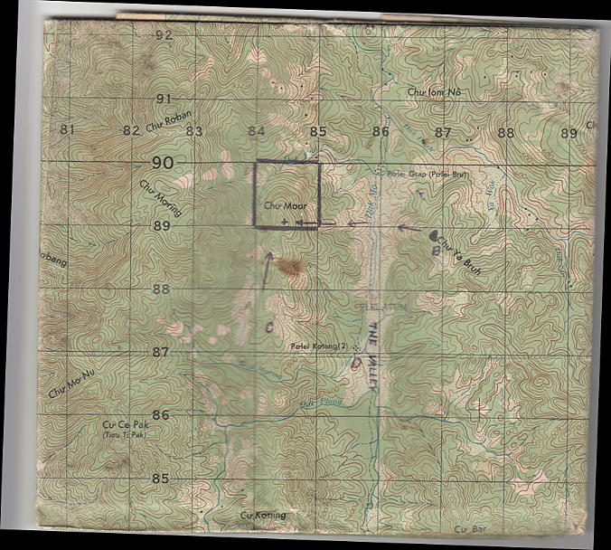
Map of Chu Moor Area of Operations of Lieutenant John Bobb
The tallest peak of the mountain is
outlined by the square. The locations of Companies B, C and D
are indicated, as is the movement of Company B from Chu Ya Bruh
to the top of Chu Moor Mountain.
Courtesy of Fred Childs
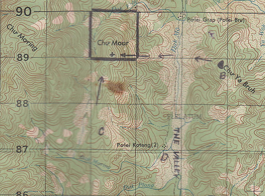
Close up of the map, showing the square surrounding the peak of Chu Moor as drawn by Lt. Bobb.
Courtesy of Fred Childs
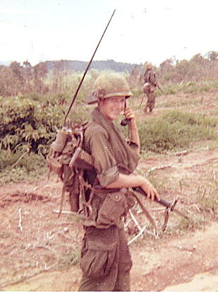
Dale Fleming, who saved the Chu Moor patrol map
Courtesy of Fred Childs
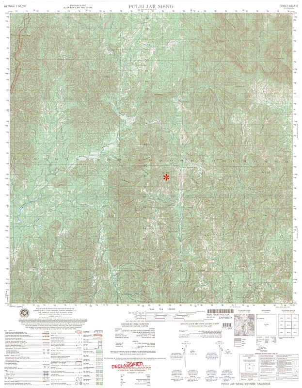 |
The map of the Chu Moor Chu Moor mountain is marked Chu Moor rose to about 700
meters The tallest mountain in the
area Chu Mom Ray rose to
Map courtesy of Bob Babcock |
Thanks to Fred Childs for the guidance in preparing this page.
Home | Photos | Battles & History | Current |
Rosters & Reports | Medal of Honor | Killed
in Action |
Personnel Locator | Commanders | Station
List | Campaigns |
Honors | Insignia & Memorabilia | 4-42
Artillery | Taps |
What's New | Editorial | Links |